Rail
Ontario Redi-Mix, as seen from the park
Thu, 2010-08-19 07:26 — vic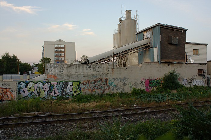
Another exterior shot of Ontario Redi-Mix on Wade Ave. This is the view from Erwin Krickhahn Park on Rankin Cres. in the Junction Triangle.
It will be interesting to see if this place gets re-used (doubt it), pillaged and vandalized (probably), and eventually torn down to be replaced with something better (probably, but who knows when?).
August 10, 2010.
The rest of my photos from Redi-Mix are posted here.
View from Ontario Redi-Mix
Wed, 2010-08-18 08:08 — vic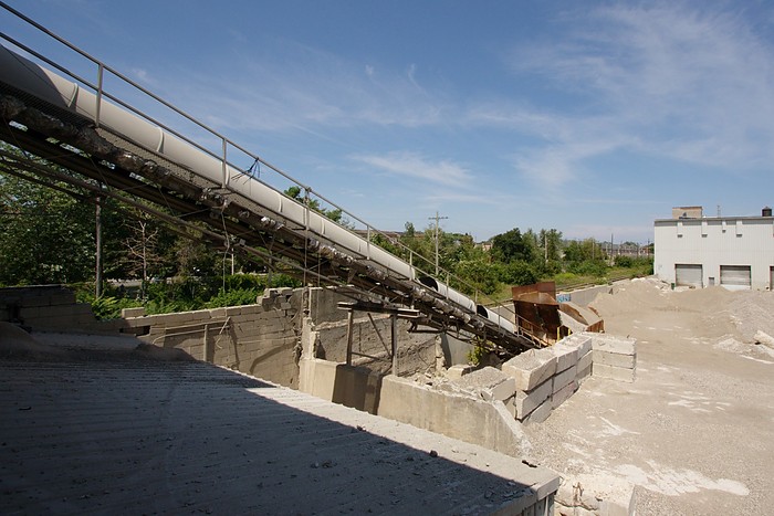
Looking down from the upper level of the vacant Ontario Redi-Mix plant on Wade Ave. There's a decent view of the surrounding area up here: The Redi-Mix gravel yard, GO Transit's Barrie Line tracks, and over into Erwin Krickhahn Park in the Junction Triangle. Probably an even better view from up on the silos. :)
The rest of my photos from Redi-Mix are posted here.
Pound for Pound, at Perth Square Park
Tue, 2010-08-10 13:21 — vic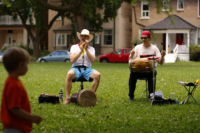
Drumming group Pound For Pound performing at Perth Square Park in the Junction Triangle, July 25 2010.
This was part of a Sunday picnic series in the local parks, with music organized by the Junction Triangle Rail Committee to help bring awareness to the rail expansion projects in our neighbourhood.
The rest of my photos from this picnic and performance are here.
Strollin' past the new tree mural
Wed, 2010-07-21 06:00 — vic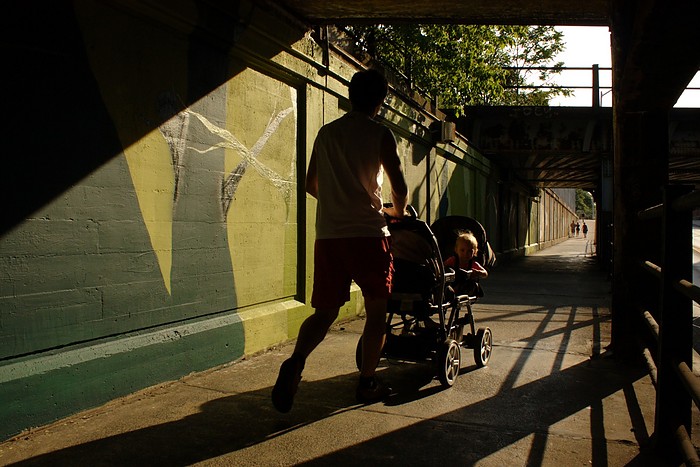
A father and son (no, not me yet!) stroll past the new mural that's going up on the south side of Bloor St., between Perth Ave. and Dundas St. West. This new tree mural certainly helps brighten up this railway underpass, and is a nice complement to the Railpath up above.
More photos here and over at the Junction Triangle website.
Photo taken on Monday July 19, 2010.
Railway car and Wallace Bridge
Sun, 2010-05-30 06:00 — vic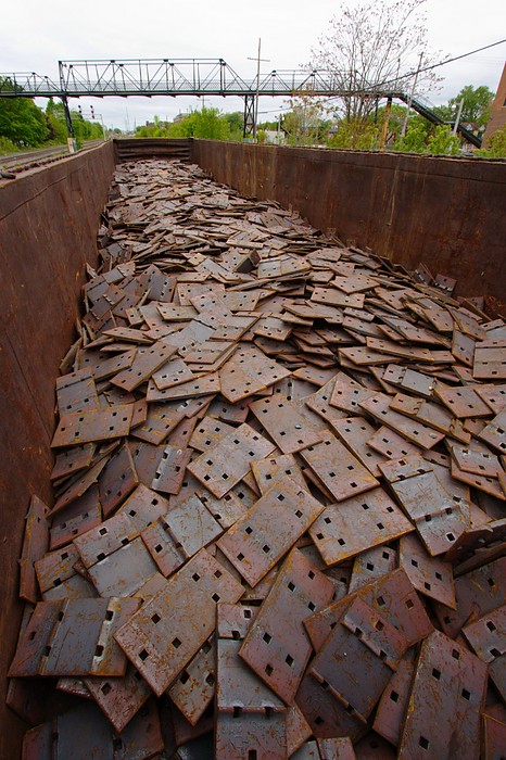
Same as yesterday's photo, but with a view of what's inside the railway car: a bunch of steel plates being used during track construction.
Photo taken 2010-05-15.
Georgetown tracks, railway car, and Wallace Ave. Bridge
Sat, 2010-05-29 06:00 — vic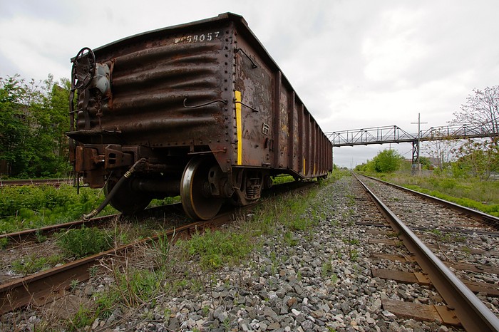
May 15, 2010.
Another photo from a Saturday afternoon walk in my 'hood. This lone railway car has been parked on the tracks near Wallace Ave. for the past few weeks, and it occasionally gets moved around. Looks like it's being used to store things for some of the ongoing track work in the area.
This was also an excuse to play with my wide angle lens (Canon EF-S 10-22mm) again, as I haven't used it in a while.
Wallace Ave.: Entering the Junction Triangle
Sat, 2010-05-08 06:00 — vic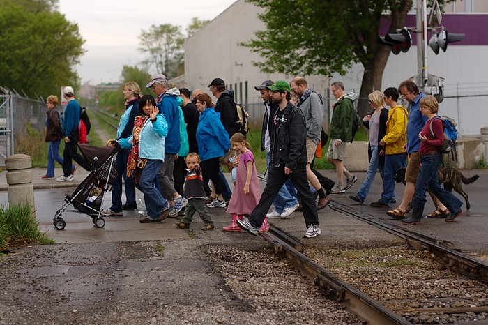
Sunday May 2, 2010. Near the start of last weekend's Jane's Walk through the Junction Triangle neighbourhood in west Toronto. Walking west along Wallace Ave., crossing the tracks into the triangle.
Davenport Railway Bridge
Sun, 2010-05-02 06:00 — vic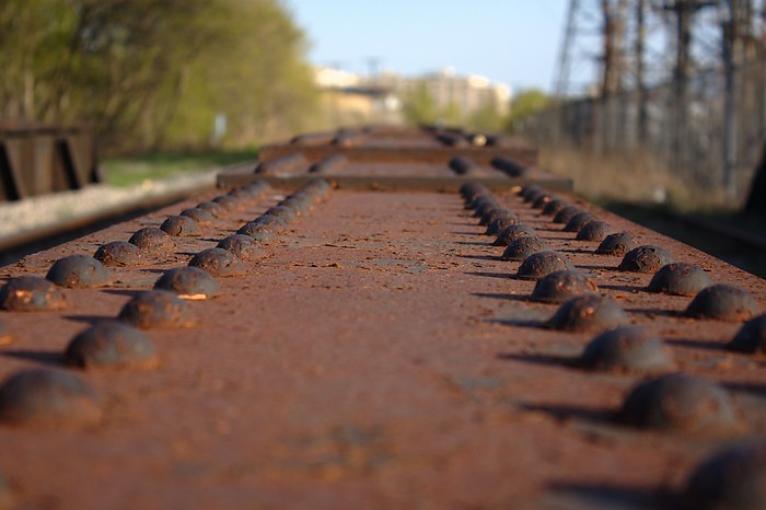
Looking south over the Davenport Rd. bridge along the CN/GO Newmarket tracks.
Way back in the day (e.g. a century ago) there was a railway station here.
Canada Iron Fdries Ltd. St. Thomas Ont
Sat, 2010-05-01 06:00 — vic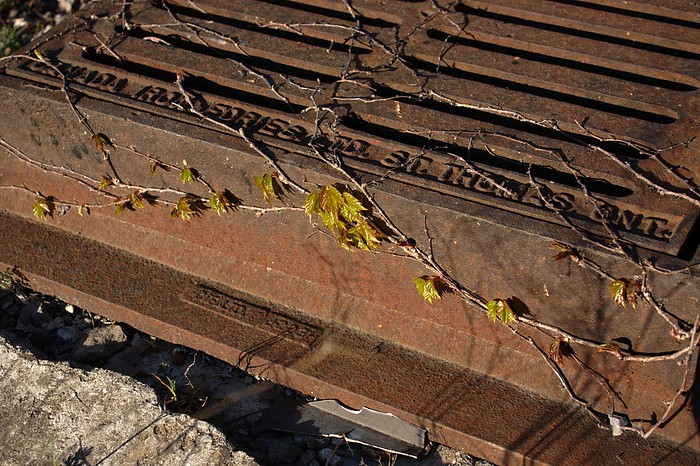
Some kind of manhole cover next to the railway tracks (CN/GO Newmarket sub) near Davenport Rd.
Another random photo from last week's after-work walk around the neighbourhood.
Davenport Diamond
Fri, 2010-04-30 06:00 — vic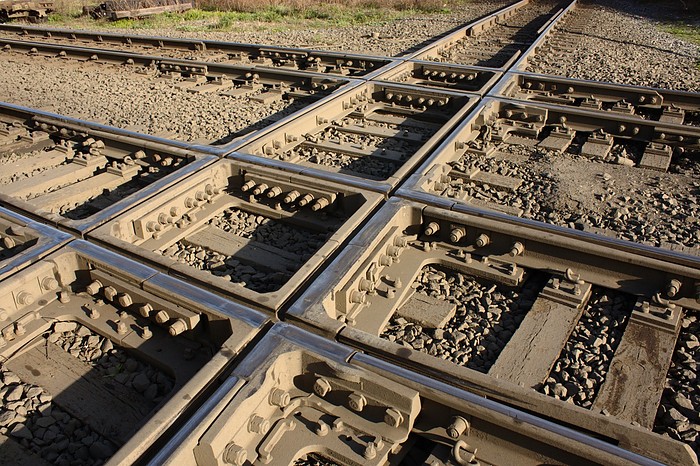
Another photo from last week's after-work walk around the neighbourhood.
This is the Davenport Diamond, where two railway corridors cross each other a little north-west of Dupont St. and Lansdowne Ave. in Toronto's west end. This also defines the north-east corner of the neighbourhood I live in, the Junction Triangle.
The east-west railway corridor is owned by CP Rail, and the north-south corridor used to be owned by CN, but was recently purchased by GO Transit / Metrolinx. GO Transit is expecting to increase traffic on the north-south corridor, which runs from Union Station to Barrie, sometime in the near future. They're contemplating a grade-separation for this diamond: make one track go over or under the other one, so that trains on one corridor don't delay trains on the other. In fact, shortly before I took this photo, a northbound GO train had to wait a few minutes for a CP freight train to move through.
